À La Une
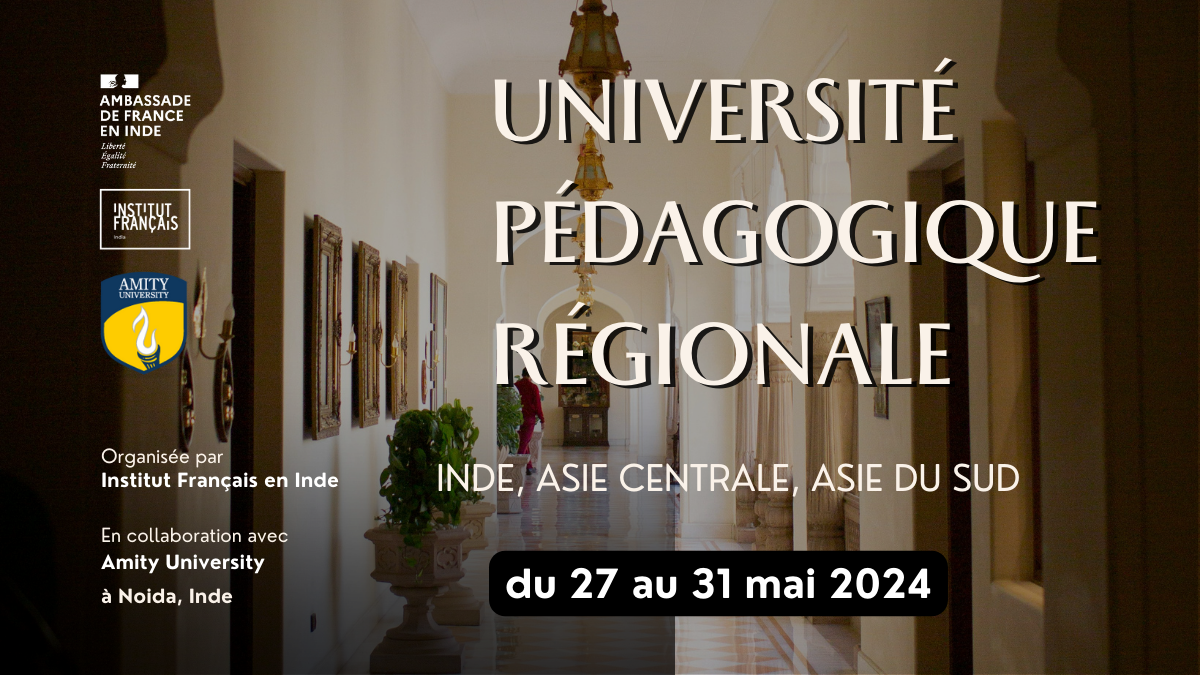
Université pédagogique régionale
This one-week training program will offer a variety of modules for participants from India and neighboring countries.
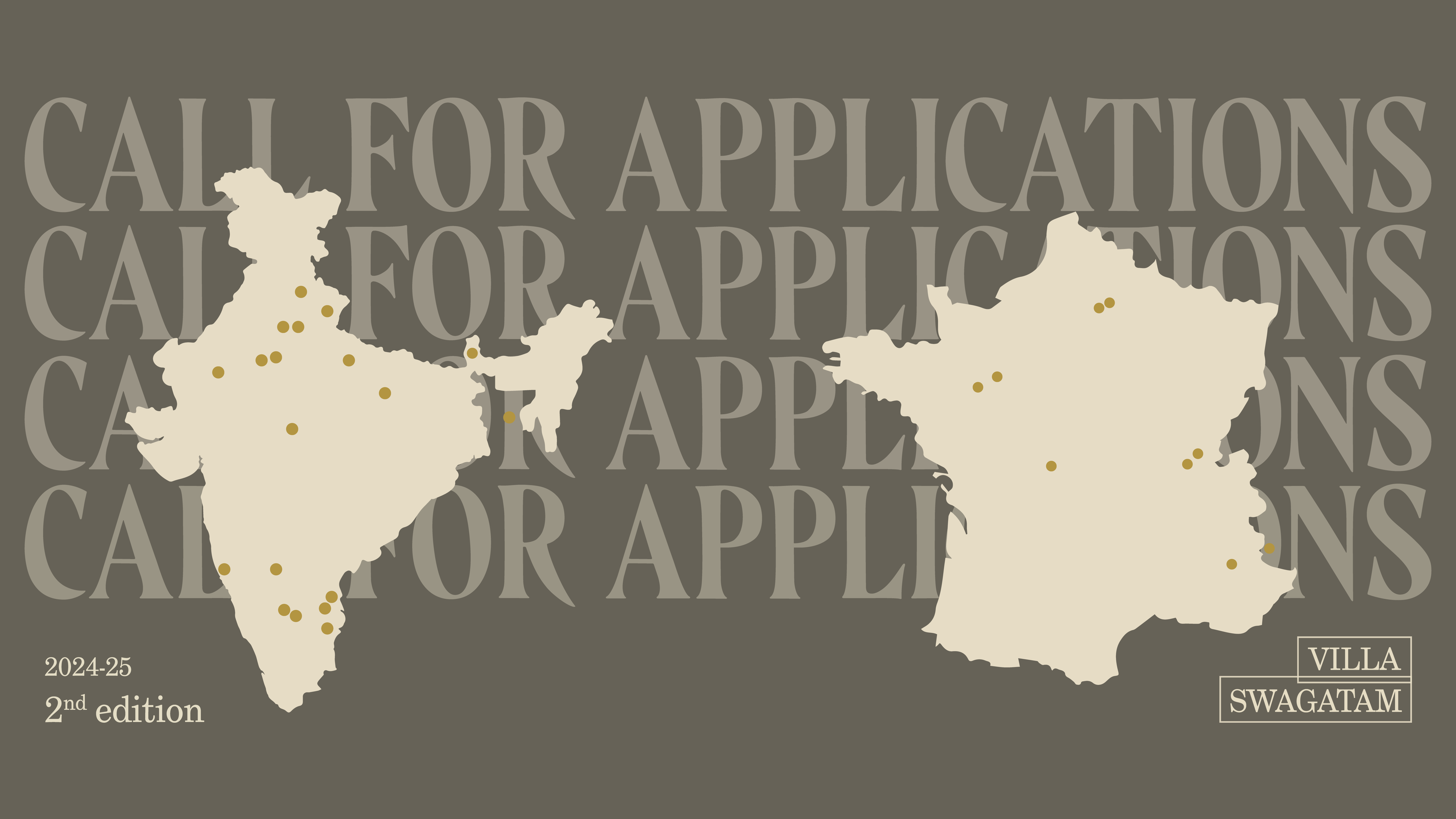
Villa Swagatam – Call for Applications
A flagship initiative of France's cultural cooperation with India, created to help bring talents from both countries closer together.
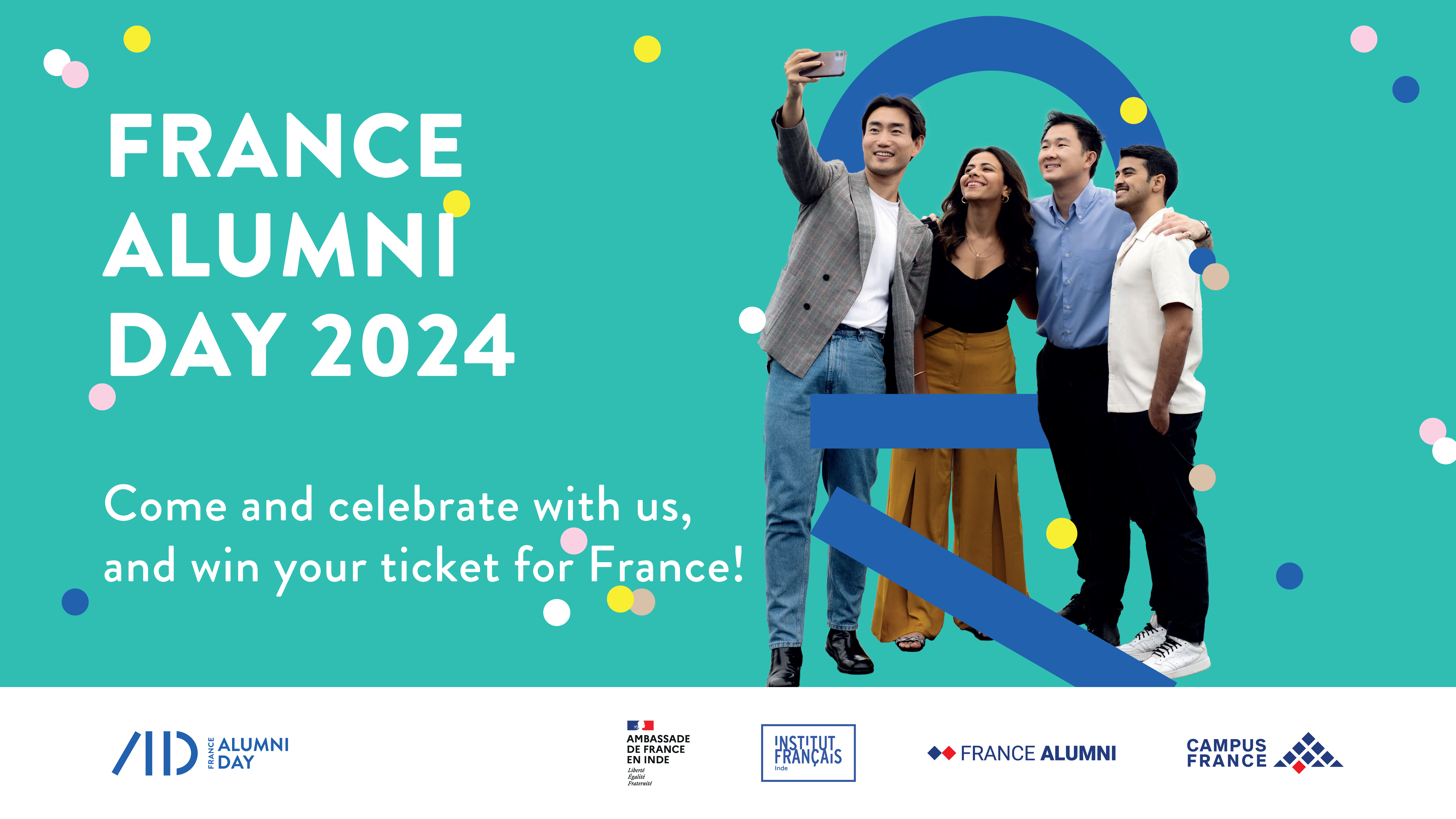
France Alumni Day 2024
After the resounding success of Alumni Month 2023, France Alumni - India Chapter and the French Embassy in India are thrilled to announce the return of the second edition of Alumni Month 2024 across India!
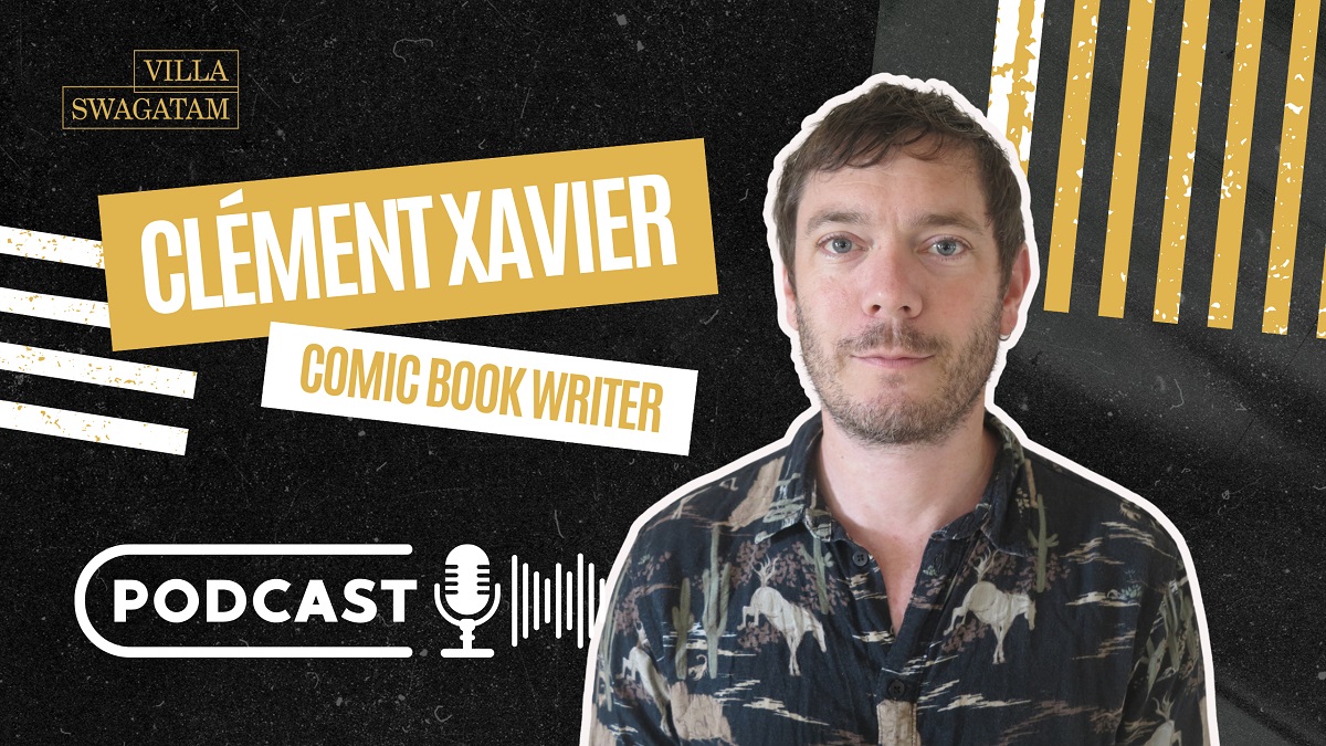
Podcast – Clement Xavier, Comic Book Writer
Villa Swagatam | After studying at the Angoulême School of Comics, Clément founded the publishing house Na éditions. He creates comics and Graphic novels.
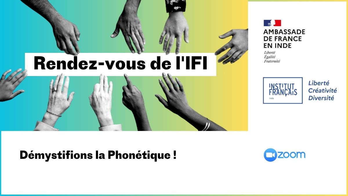
Démystifions la Phonétique
Need tips and tricks to improve your students’ pronunciation in French? Discover all the dos and don'ts of teaching phonetics in a French classroom!
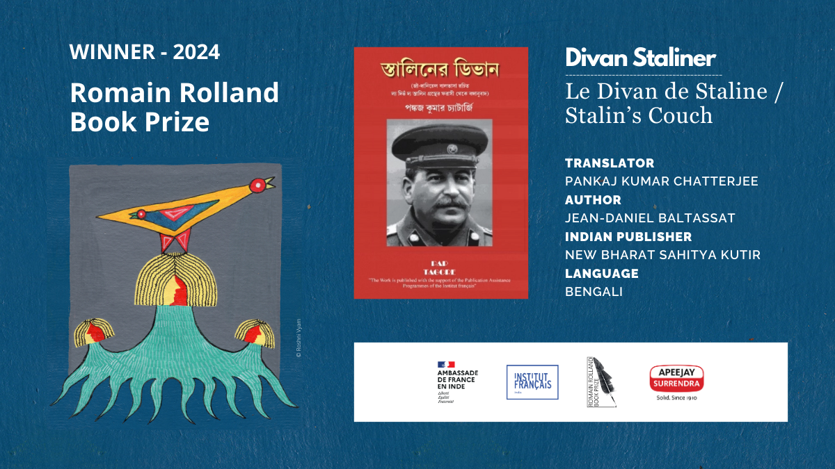
Winner of the 7th Romain Rolland Book Prize
Divan Staliner, Pankaj Kumar Chatterjee’s translation of Jean-Daniel Baltassat’s Stalin’s Couch, has won this year’s Romain Rolland Book Prize.
Events
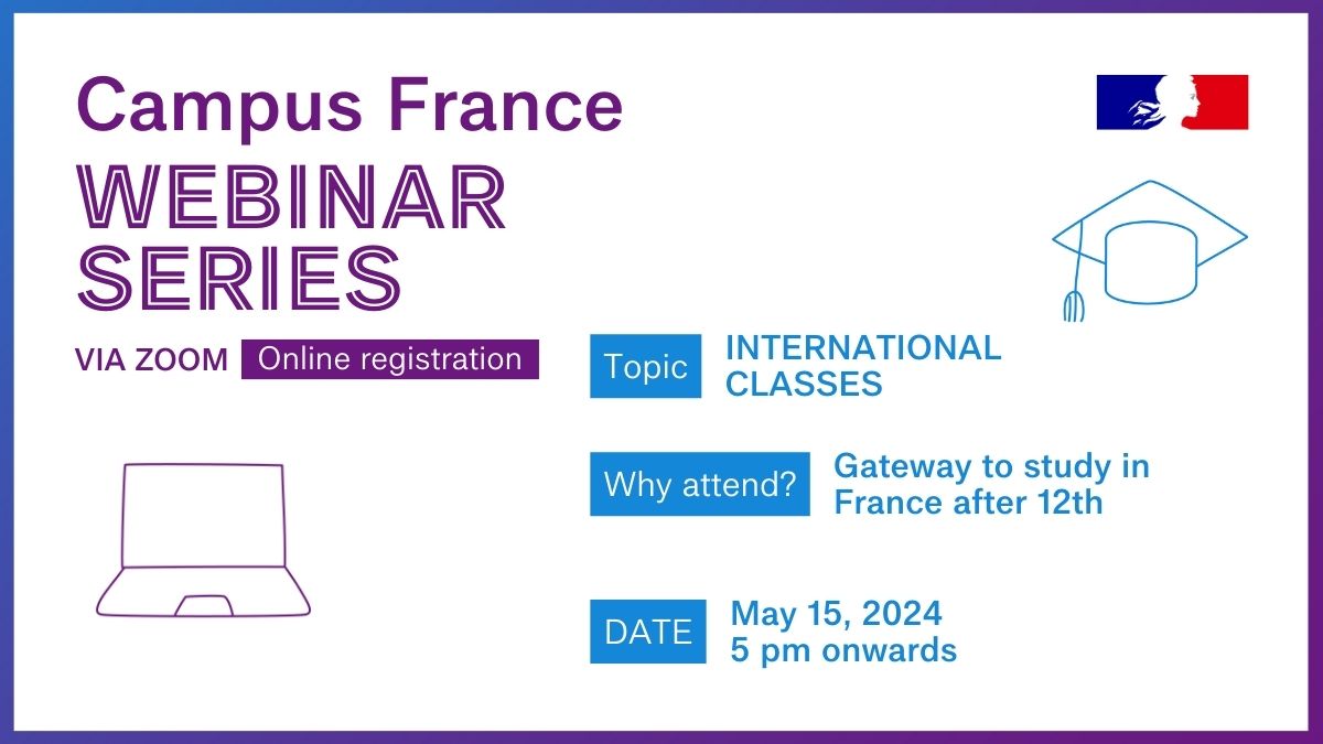
Classes Internationales offer access to premier French higher education universities and public institutions.
Newsletter • Press • Online payment • Careers • Procurement • Contact us • Privacy Policy
‣ Newsletter
‣ Press
‣ Online payment
‣ Careers
‣ Procurement
‣ Contact us
‣ Privacy Policy